Starting point: At the end of village Ilovita
GPS: 44.768033, 22.476774
Difficulty: Medium
It includes the most important areas of the Portile de Fier Natural Park, consisting of nature reserves or spectacular mountain peaks. To access them, tourist routes have been marked, signposted and approved, which reach special viewpoints. Leaving the village of Ilovita, you reach the Bahna Paleontological Reserve, in the Curchia and Lespezi valleys, covering an area of 10 hectares. It is a reserve of special paleotological interest, considered to be one of the most important at European level, containing fossils of 400 species.
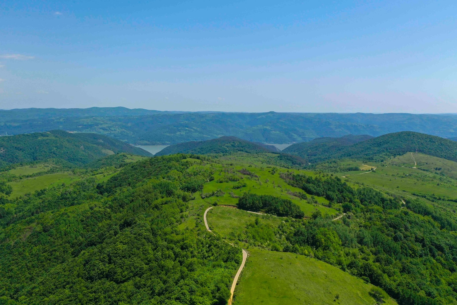
From Ilovița, on DN6 and DN57 you reach the Cazanelor Dunării area, the narrowest and deepest part of the Danube river, dominated by vertical karst walls, being the most impressive part of the Danube Gorge. Endemic species grow on the inaccessible slopes, and among the beech forests, we find yew, a tertiary relict. In the area, there are 4 tourist trails, circuit type, of low to medium difficulty, marked and signposted, which take tourists to the most spectacular viewpoints.
Further, on DN 57, we reach the Liubotina Valley, from where we start on the narrow paved road to the village of Eibenthal. From here, on trails marked by the Czech community, you reach the Znamăn area, the most popular in the Eibenthal village area, an area of particularly beautiful meadows with many species of orchids, surrounded by extensive beech forests.
Leaving the village of Eibenthal, towards Svinita, either on the asphalt road, or on the asphalted road (the same one on which you go up), or on the forest, dirt road, you reach the Cioca Borii area, at the foot of which are the ruins of the Tricule fortress. Cioaca Borii is a very special area in the natural landscape of the park. It is a 260-million-year-old mountain formation, on the rocks of which is the only Banat black pine forest in the Danube Gorge. In the tourist route, it is marked and signposted all over the summit, with a descent from the fortress and an exit to the village of Svinita.
Further, the natural heritage route reaches Vârful Trescovăț, one of the most spectacular peaks in the Banat Mountains, with a unique geomorphological characteristic compared to the rest of the mountain formations in the area.